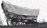
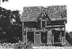
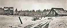
Here is the way
used to travel from Longview to Toledo 1
Map from the Oregon-California Trails
Association. 2
(Page 22)
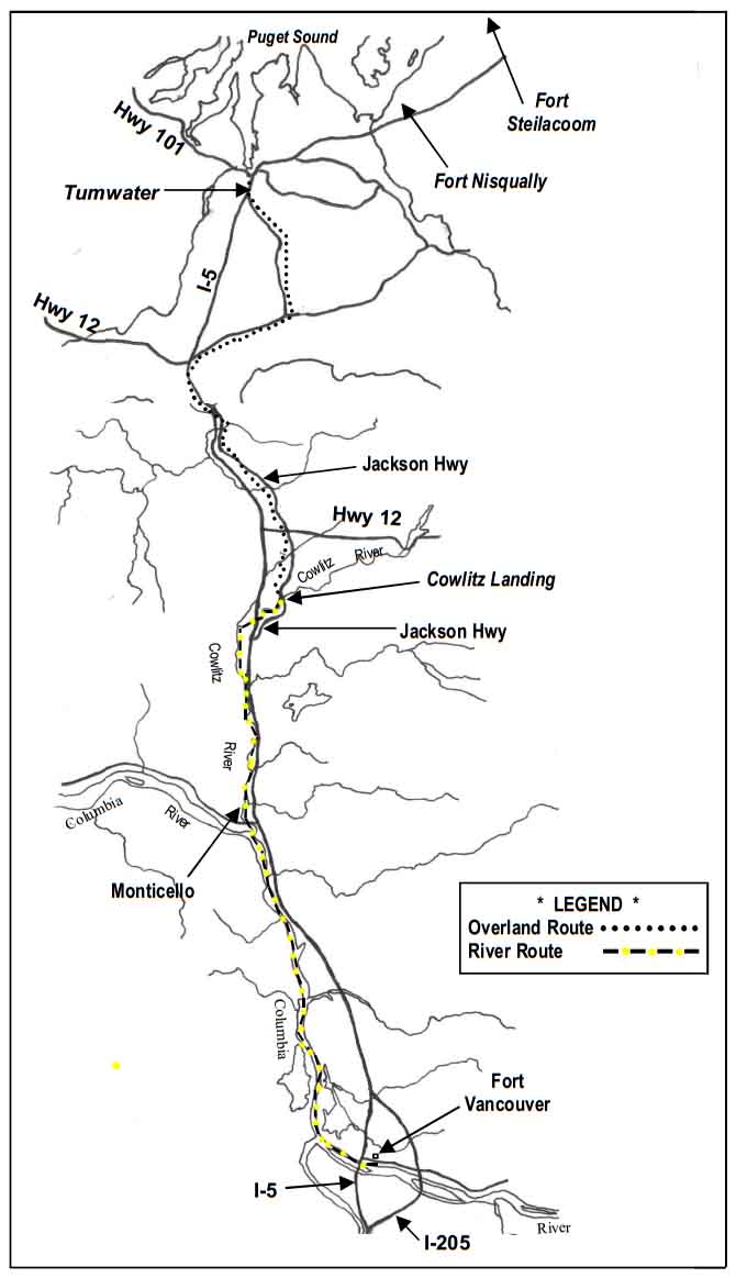
From The
Morning Olympian - February 22, 1913
The Cowlitz Trail was the overland road
north of the Cowlitz River. It was one of
two Oregon Trail extensions to the Puget
Sound region of Washington Territory. The
other being the Naches Pass route across the
Cascade Mountains from Fort Walla Walla.
After five months of travel on the Oregon
Trail emigrants arrived in the Willamette
Valley in the late fall. For those who did
not “winter-over” near Fort Vancouver, fall
and winter rains made overland travel north
to Puget Sound difficult and exhausting.
Steep hills were few but lowlands became
quagmires of axle deep mud.
Most emigrants did not record accounts of
travel on the overland segment, but those
who did had few words of joy about the final
sixty miles of their journey.
To the HBC fur-traders the overland route
was known as the “Cowlitz Portage” or the
“Road from Cowlitz Farms to Nisqually“. To
the American settlers it was called the
“Road from Cowlitz Landing to Olympia”
according to early GLO naps. To satisfy the
demands for improved roads in the developing
territory the U.S. Army oversaw the
construction of the “Fort Vancouver to
Steilacoom Military Road“.
As the pioneers traveled north they not only
passed through virgin forests, but crossed
open prairies that provided a reference for
their forward progress.
Today most of the land is developed to one
degree or another; either as agricultural
land or for residential purposes. While the
deep forests have given way to society,
several segments of the trail have been
identified on private property as well as at
the Lewis and Clark State Park north of
Toledo. That historic trail was first marked
by Ezra Meeker in 1906 and later by the
Daughters of the American Revolution in
1916.
The
Military Road
Military
road from Fort Vancouver through Olympia
to Seattle is completed in 1860.
In 1860, the military road is
completed from Fort Vancouver to Seattle. It
passes through Olympia, Fort Nisqually, Fort
Steilacoom, and Fort Puyallup. The Reverend
Daniel Bagley and family are the first to
travel the road to Seattle.
The U.S. Congress authorized the road
in 1853.
Sources:
Myra L. Phelps, Public
Works
in
Seattle:
a Narrative History, the Engineering
Department, 1875-1975 (Seattle:
Seattle
Engineering
Dept.,
1978), 98. By Greg Lange, November 03,
1998
Taken
from the monument at 5 Mile Lake
County Park...
Washington
State Centennial Commemorating Old
Military Road
Motivated
by the desire to open up the Puget Sound
country, King County's oldest road was
first proposed in 1852 by territorial
legislator Arthur A. Denny. The
U.S. government established this land
route out of the need to connect Fort
Steilecoom to Fort Bellingham and to
provide military protection to the
settlers. Unfortunately delays in
funding this section meant that no road
existed through here during the Indian
Wars of 1855-1856. Spurred to
action by the tragic events of
that period, Congress appropriated
$35,000 in 1857. Construction
began in 1858 under the Lt. G.H. Mendell
and the road was complete to Seattle in
October, 1860.
Dedicated
June 14, 1989
The
Pacific Highway
The road
was completed after the 4 bridges
were completed near Marysville in
1927. Ebey Slough Bridge
3
Contact webmaster
at historian@start-wa.com

